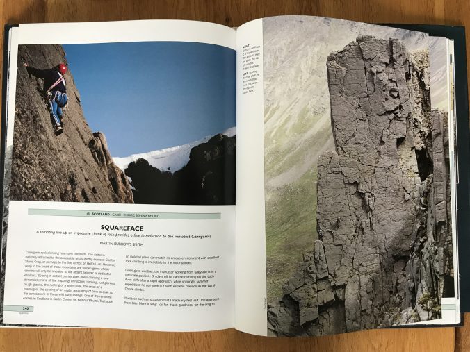
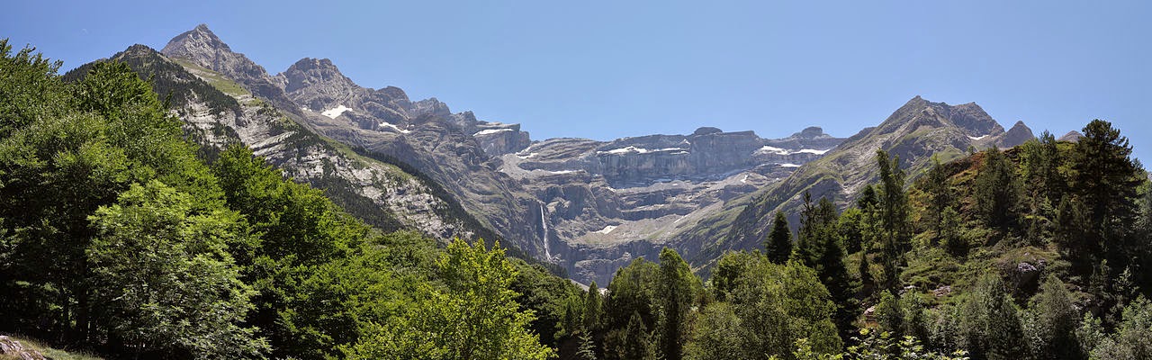
Squareface Buttress, so photogenic it sears itself into your consciousness the first time you see it, granite glowing in the sunlight with the vast bulk of Ben Avon looming behind. I remember the image in Classic Rock, that 1980’s bible of easy rock routes, captivating me with an intense desire to climb across that face of perfect granite. The fact the grade was low (VDiff), and the approach to a high remote choire nestled in the very centre of the Cairngorms further cemented this idea on my climbing wishlist.
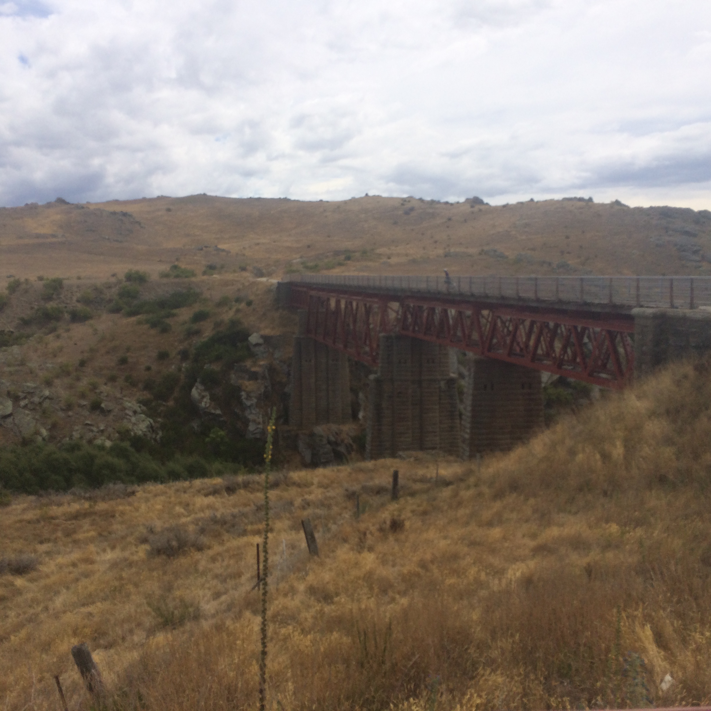
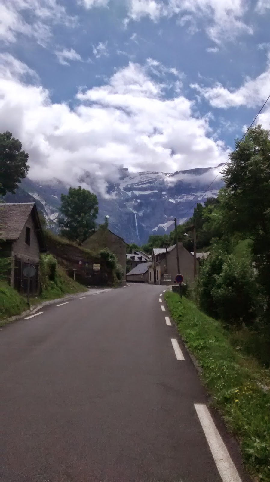
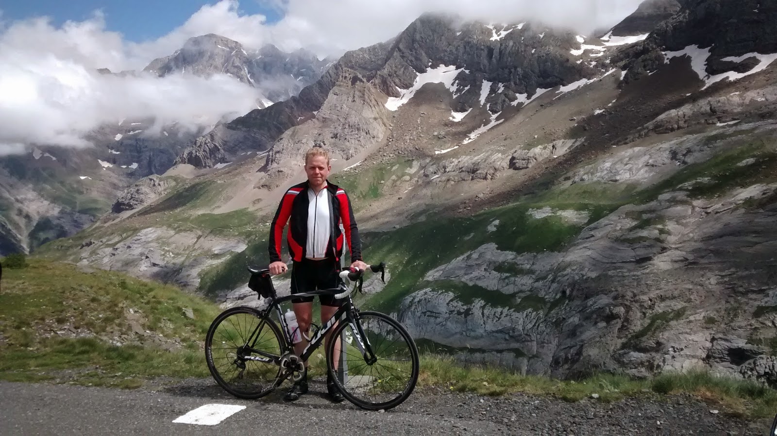
Over twenty years later , rather longer than younger me would have liked I’m cycling up Glen Slugain under a blue sky devoid of any hint of cloud. Reminiscent of an earlier trip almost fifteen years ago to the day, I’d again brought my bike this way for what remains one of my best days in the Scottish hills. Ben Avon, Beinn a Bhuird, the Secret Howff had all featured, before frustratingly, farcically a puncture about as far from the road as it is possible to get, followed by the slow realisation I had no spare resulted in an epic push for freedom back to the car.
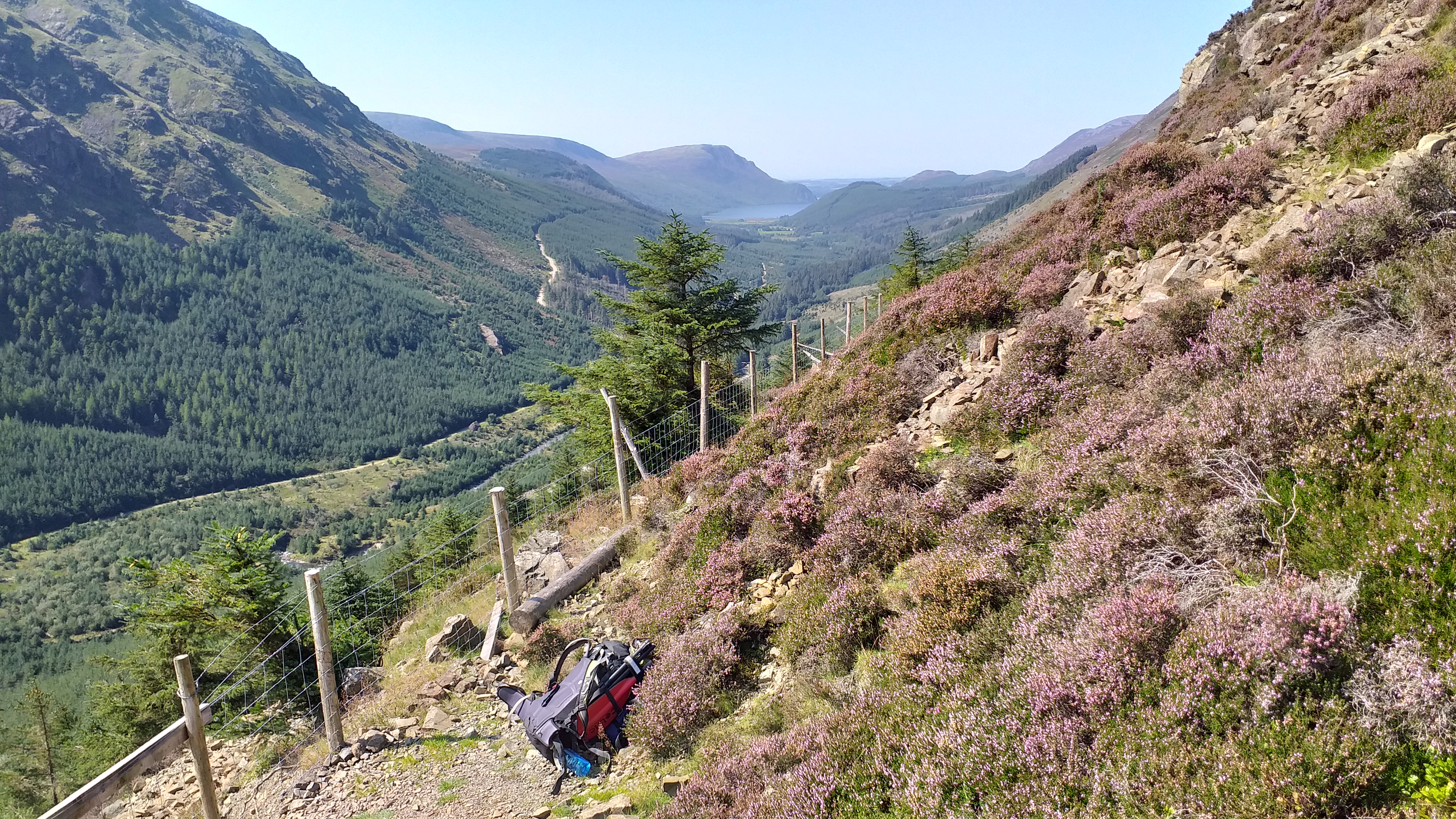
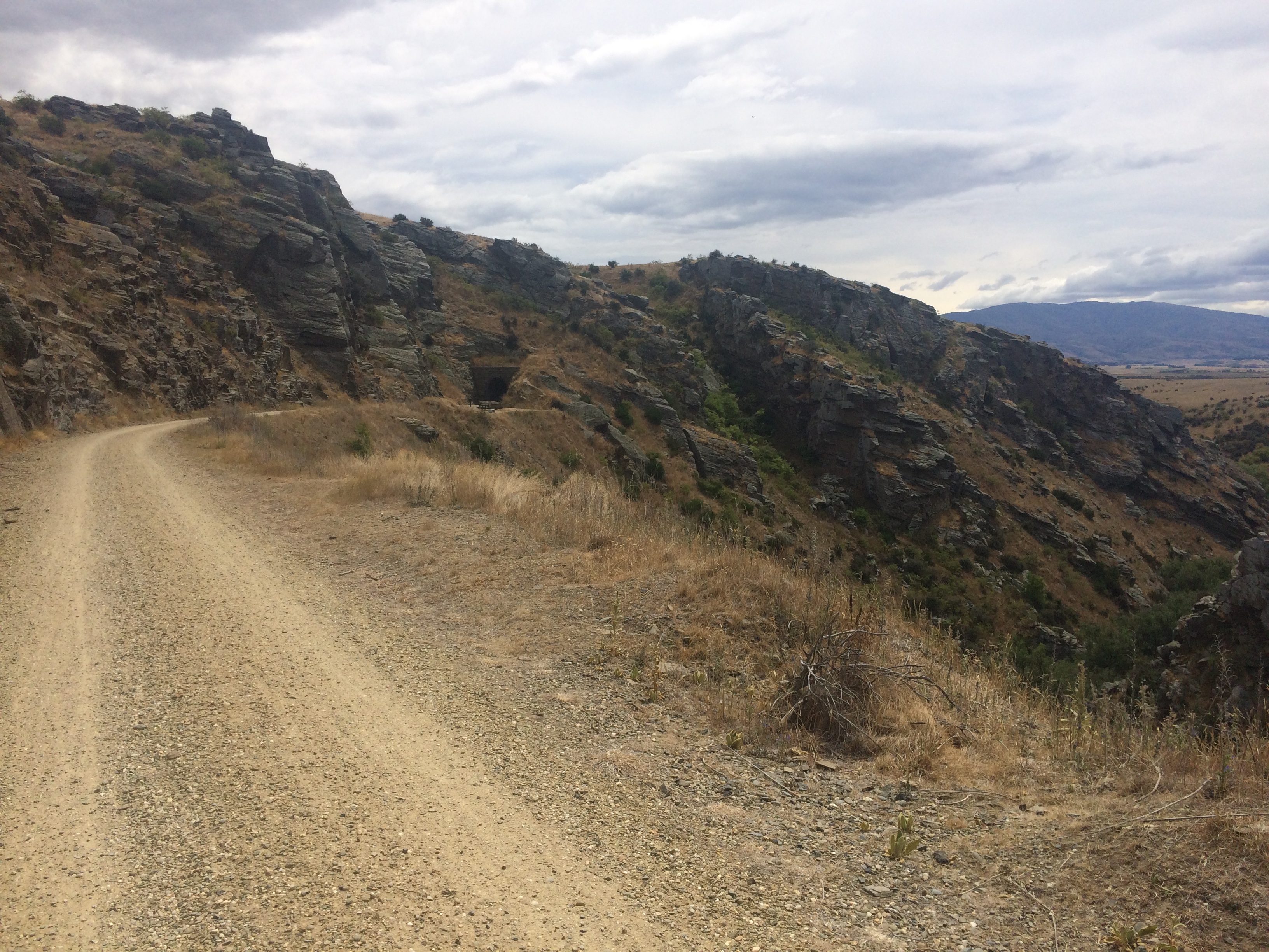
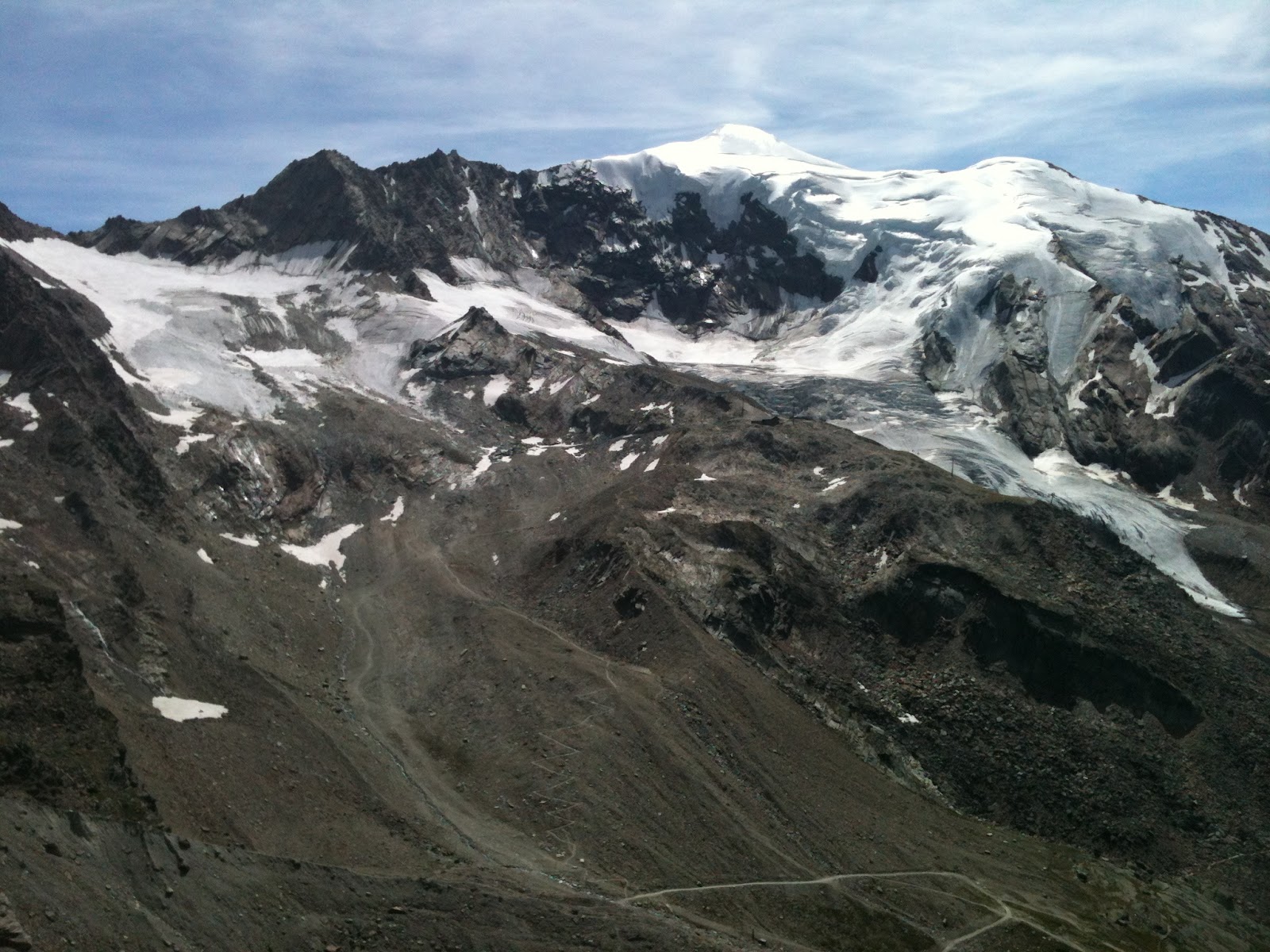
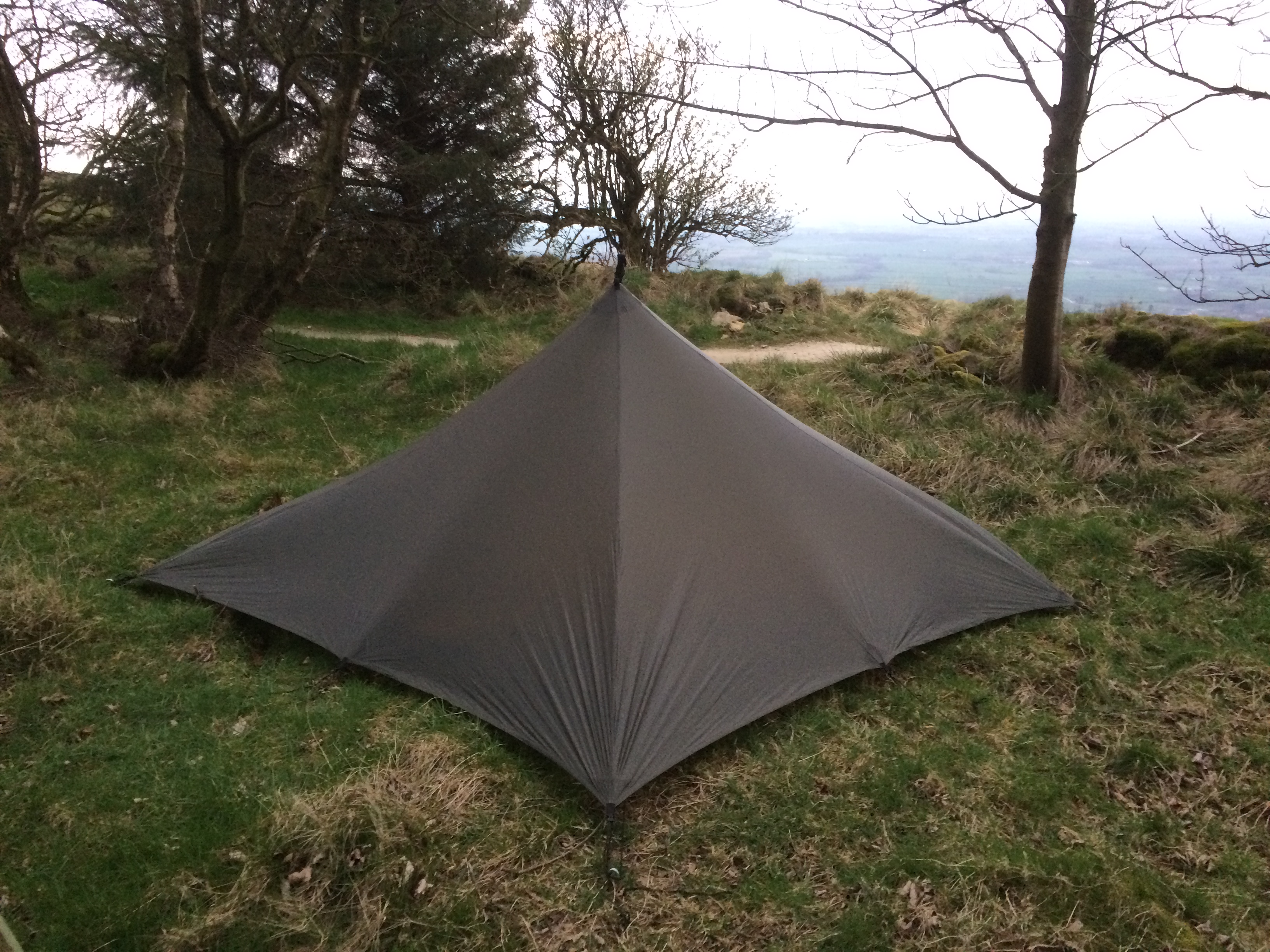
Today, spares well in hand Dom and I climb up through pine scented forest. I’m making use of my bike packing kit to carry the heavy climbing equipment and this really helps make the load feel lighter than it is. As we climb Glen Slugain the trees retreat and the track worsens, occasionally loose, steep, and necessitating a short push but generally ridable. At the top of the glen the track emerges into a huge open valley that must be part of the upper catchment of the River Quoich; accompanying our arrival is a vast feeling of space dominated by the colossal eastern corries and slopes of Beinn a Bhurid. Here the route becomes a fine single track of hard packed sand contouring gently up around the edge of the hill towards The Sneck, the low point on the ridge which still looks many kilometres distant. Drainage ditches, my nemesis in 2010, are still here, perhaps more worn but still capable of catching you out.
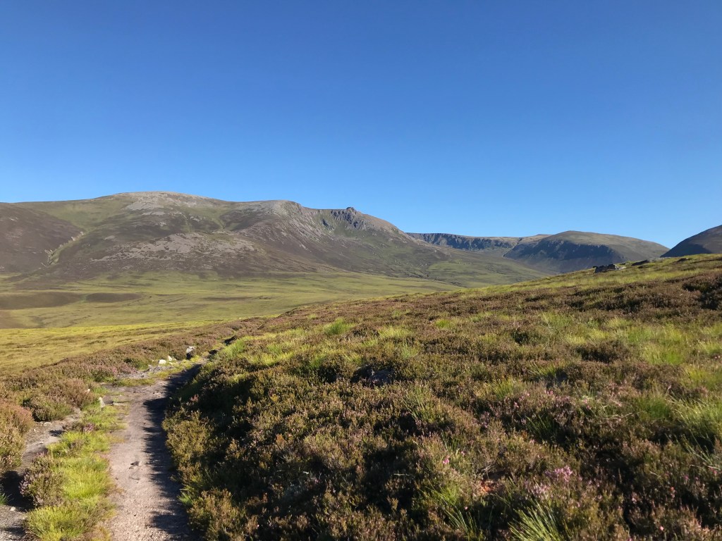
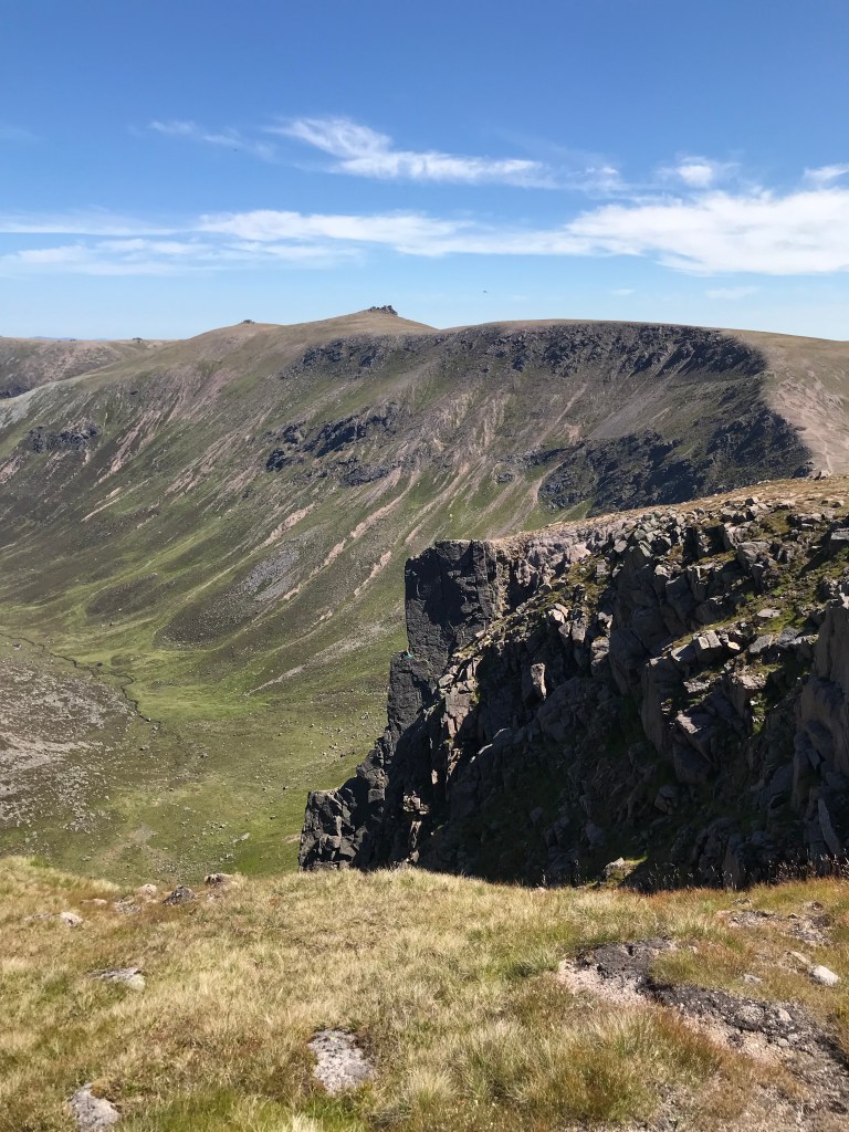
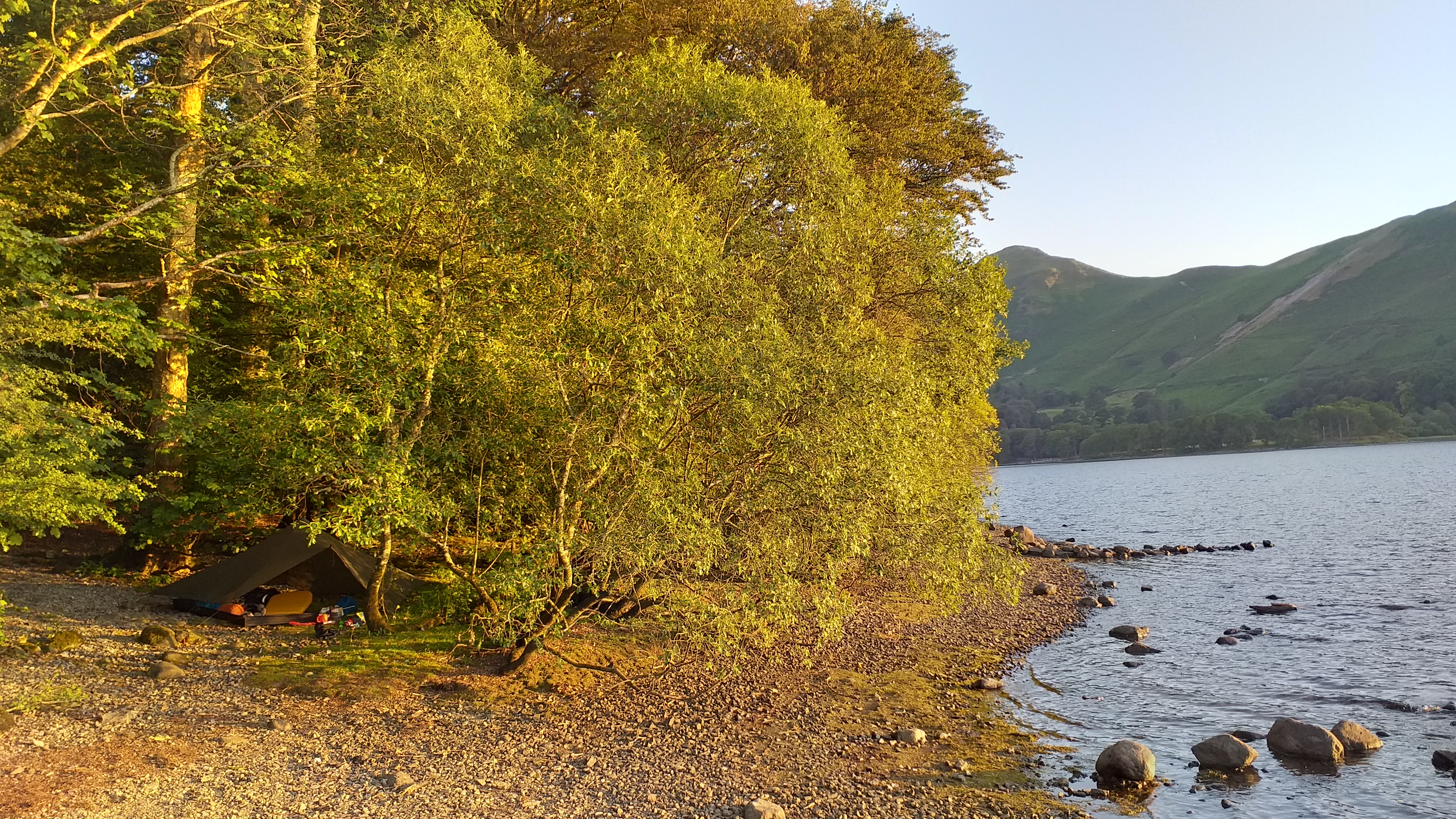
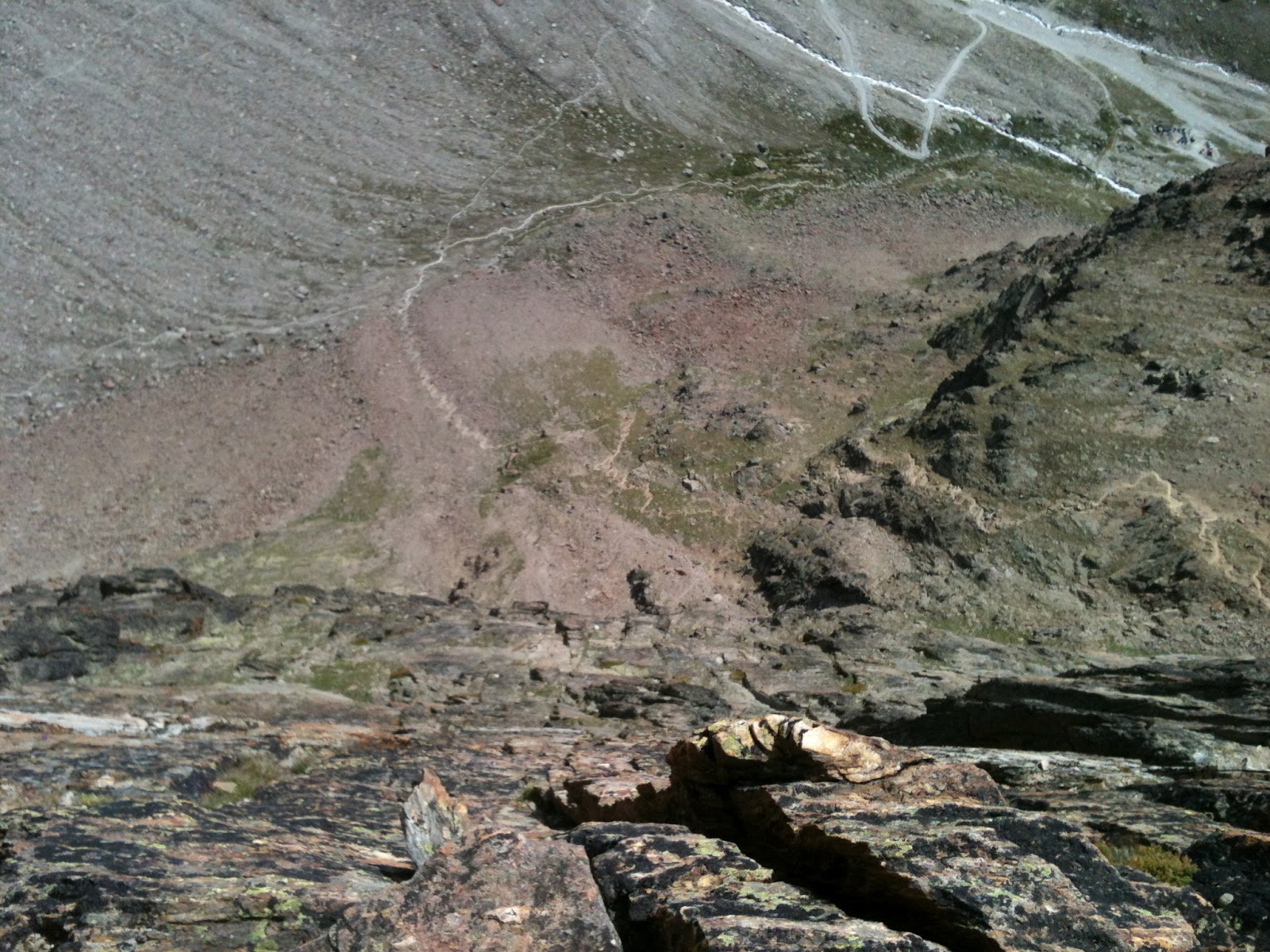
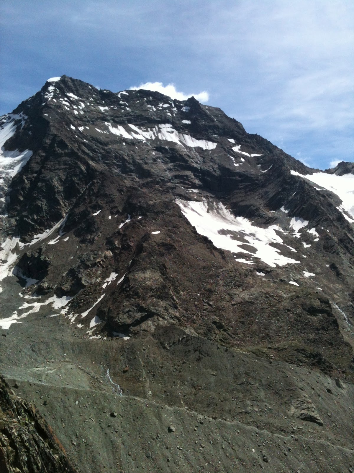
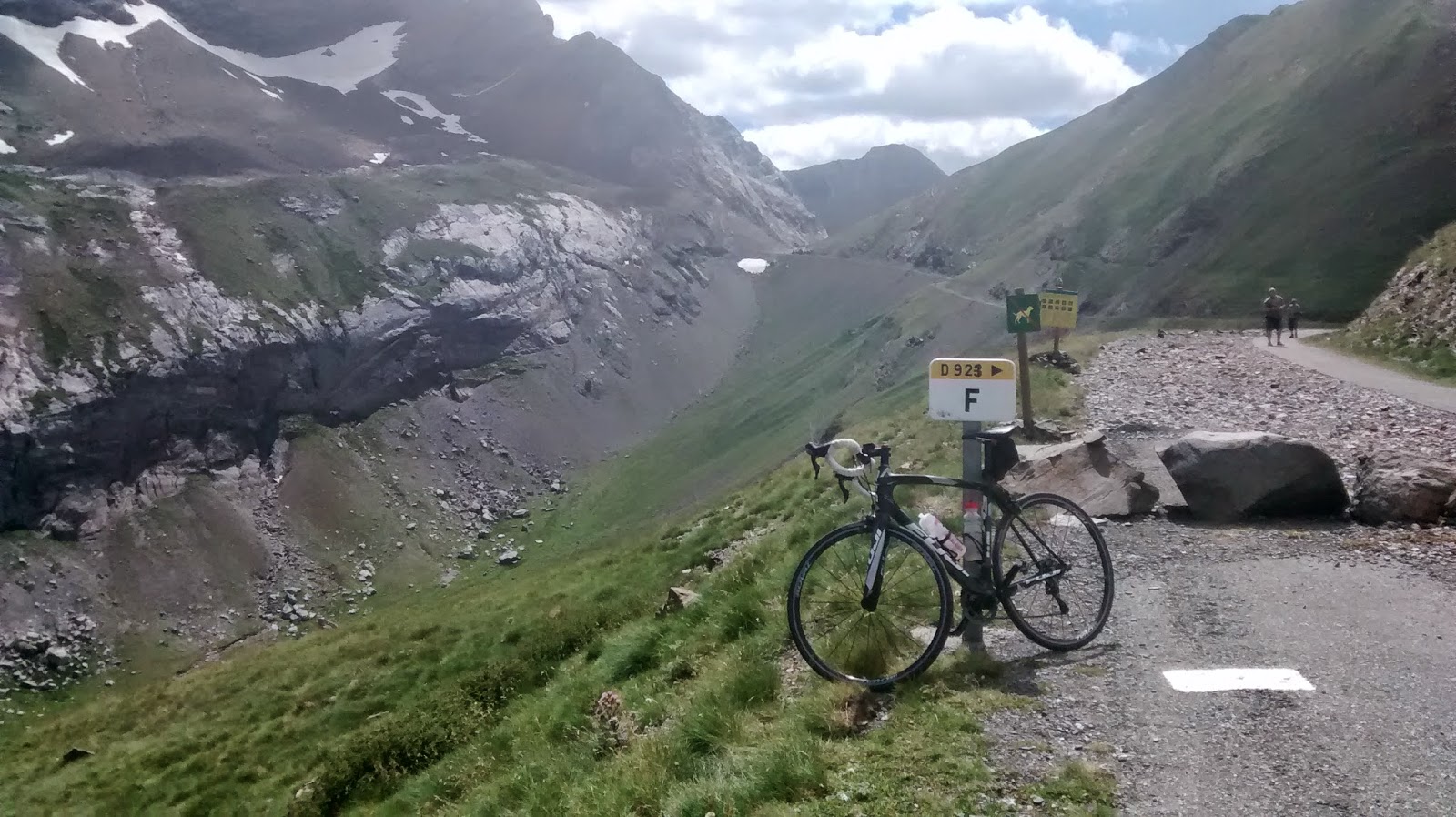
At about 750m and after 13km of riding we leave the bikes by a small cascade, the cold water from which is a welcome refreshment as temperatures even just after 9am already feel to be in the low twenties. With bags packed we climb more steeply up towards The Sneck, granite outcrops appear ahead marking the ridgeline and once reached the ground drops away steeply with view out across a landscape seemingly, but not truthfully devoid of human interference.
Finding the buttress involves a bit of head scratching, we should have stayed high and dropped down once we located the route from the plateau, we however try and work our way in from the bottom. This involves traversing first down then up ground which can’t decide if it wants to be steep and loose or steep and grassy, at least its settled on steep. We finally locate our route, and thankfully the rock is still in deep shadow offering us some protection from the sun, the granite will become an oven later and we want to be well up the route by then.
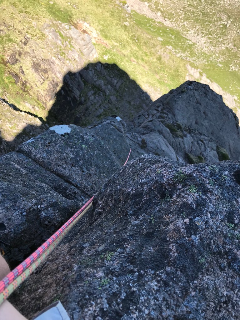
Not having lead outside, or even climbed much on rock since before the pandemic I’m a bit nervous as I set off up the first pitch. It’s like I half know what I’m doing but the intricacies of finding protection, thinking about rope drag, and spotting the holds has drifted into an archive somewhere in my brain that is not super quick to re-grant access again. The pitch however offers plenty of opportunity to refresh my memory with nuts, cams and a good sling placed. It’s the least delicate and photogenic pitch of the three but I arrive on the belay to a great view out across the the corrie.
Pitch two is an airy and exposed traverse across the wall before climbing up and back to belay above the pitch 1 stance. The moves are not hard but they feel committing and Dom makes clean work of it thoughtfully protecting the second, me, who could take a big swing on the traverse if things are not thought through. Pitch three, the really photogenic one that sold the route to me all those years ago is sensational, especially the layback section on huge holds which has just emerged into full sun.
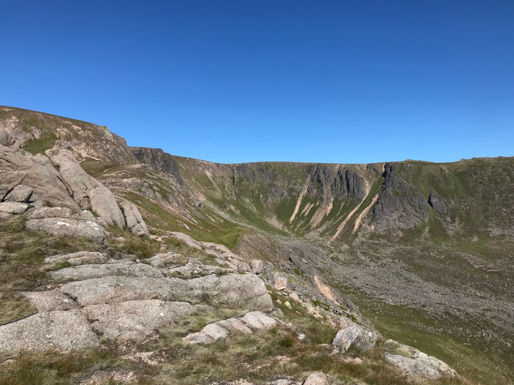
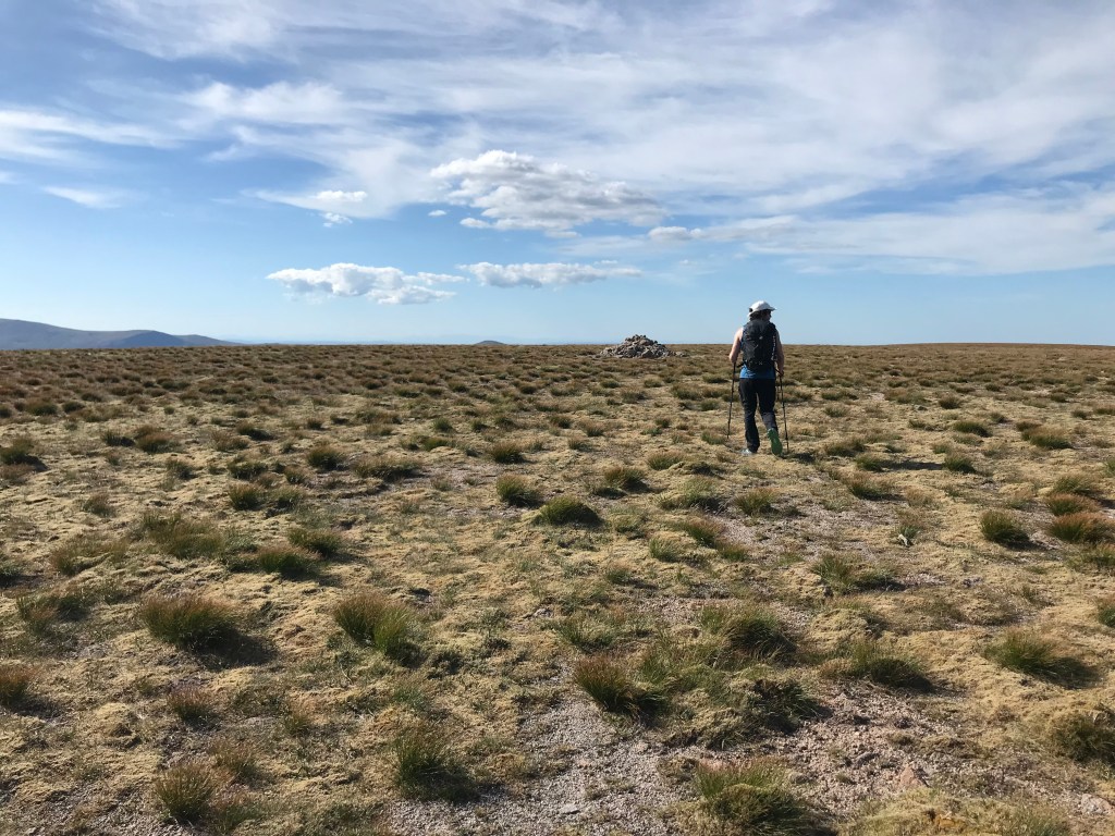
After a rest we drop back down and climb the Cumming-Crofton route, which is slightly harder and more enclosed by the rock. Then, having come all this way, it would be a real shame not to visit the summit, even if for me it’s a repeat visit. The plateau on Beinn a Bhuird is vast , and the corries which cut into it so extensive that the south summit, a top which I must leave till another day look like they are on a different mountain. The summit cairn itself feels nondescript located well back from any features and just surrounded by a vast openness.
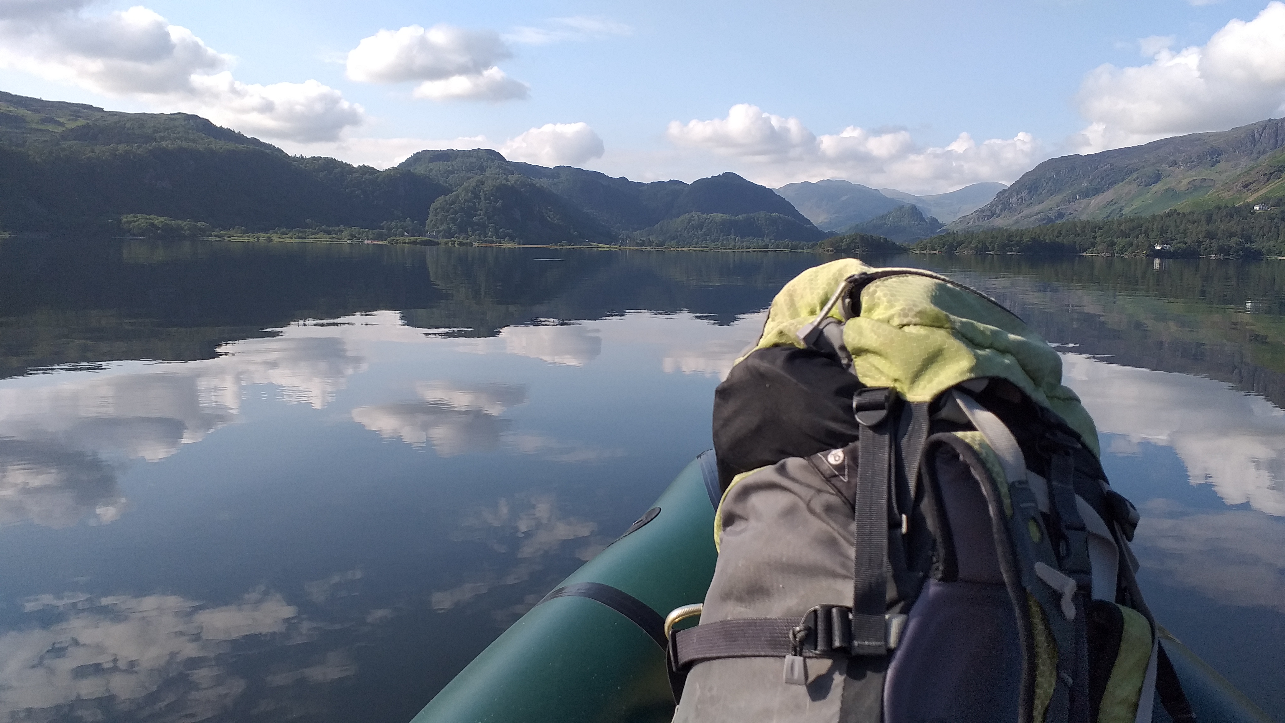
We make it back to the bikes after about ten hours on the hill, but really I’ve been waiting 15 years for this 13km of down hill back to the car.


